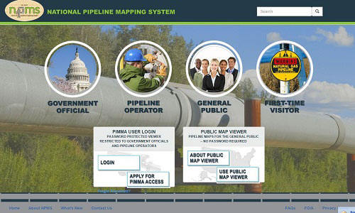
The U.S. Department of Transportation’s Office of Pipeline Safety has developed the National Pipeline Mapping System (NPMS) to provide information about gas transmission and liquid transmission operators and their pipelines. The NPMS web site is searchable by zip code or by county and state, and can display a printable county map. The site also provides the public a resource with which to obtain a list of operators and their contact information by county or state. Operators of production facilities, gas or liquid gathering piping, and distribution piping are not represented by NPMS, nor are they required to be. The Pipeline and Hazardous Materials Safety Administration has developed the Pipeline Information Management Mapping Application (PIMMA) for use by pipeline operators and federal, state, and local government officials only. The application contains sensitive pipeline critical infrastructure information that can be viewed via internet browser (Mozilla Firefox users should use Internet Explorer). PIMMA data is for reference purposes only; data cannot be downloaded. If you would like to request GIS data layers, please click here. |
  |
Full
©2026 Copyright
Missouri Pipeline Awareness
Missouri Pipeline Awareness

